News Summary
A Severe Thunderstorm Warning has been issued for Laurens and Greenwood counties, effective until 8 p.m. Residents are advised to take immediate precautions as strong thunderstorms bring wind gusts up to 40 mph and pea-sized hail. The storm poses safety risks with potential localized flooding and hail damage. Safety advisories encourage seeking shelter indoors and avoiding flooded roadways. Lightning risks also increase, emphasizing the need for vigilance during this severe weather event.
Severe Thunderstorm Warning Issued for Laurens and Greenwood Counties
Laurens, SC – A Severe Thunderstorm Warning has been issued for Laurens and Greenwood counties by the National Weather Service (NWS) in Greenville-Spartanburg, effective until 8 p.m. on Friday. Residents are advised to take immediate precautions as strong thunderstorms are expected, bringing wind gusts up to 40 mph and pea-sized hail measuring 0.25 inches.
The warning comes in the wake of Doppler radar reports identifying a powerful thunderstorm located approximately 9 miles south of Laurens, near Waterloo, moving south at a speed of 10 mph. This storm is anticipated to produce gusty winds capable of knocking down tree limbs and blowing around unsecured objects, posing potential safety hazards.
Locations that may be affected by this severe weather include Cross Hill, Waterloo, Lake Greenwood, Coronaca, and Mountville. Local residents should be aware of the possibility of minor hail damage to outdoor objects, alongside the threat of torrential rainfall that can lead to localized flooding.
Safety Precautions
The NWS has provided specific safety advisories for individuals and those outdoors. Seeking shelter inside a sturdy building is recommended if current weather conditions allow. If located in or near Lake Greenwood, individuals should evacuate the water immediately and seek a safe space indoors or in a vehicle due to associated dangers.
Additionally, individuals are warned against driving through flooded roadways, as even minor flooding can create significant hazards. It is crucial to understand the risks of hydroplaning, which occurs when a vehicle slides uncontrollably on wet surfaces due to water accumulation. This situation presents a serious hazard, especially as rainfall intensifies.
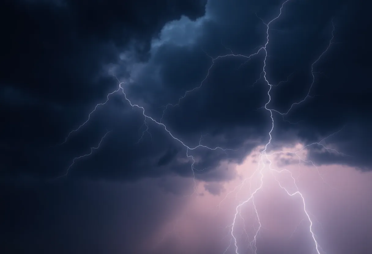
Lightning Risks
Thunderstorms pose serious risks beyond wind and hail. Lightning, a key characteristic of severe storms, can strike up to 10 miles from the thunderstorm. Residents should remain vigilant; if thunder is audible, individuals are close enough to be at risk. It’s advised to seek shelter immediately when thunder is heard, as approximately 25 million lightning strikes occur in the United States annually, mainly during summer months, leading to an average of 20 fatalities each year.
As thunderstorms approach, the likelihood of lightning strikes increases, reaching its peak when the storm is directly overhead, then decreasing as it moves away. Therefore, being aware of these risks is critical in ensuring personal safety during severe weather events.
Conclusion
The severe thunderstorm warning remains in effect until 8 p.m. today. Residents of Laurens and Greenwood counties should stay informed and take all necessary precautions to protect themselves and their property during this period of adverse weather conditions. Monitoring local alerts and weather updates can provide critical information as this storm progresses.
Deeper Dive: News & Info About This Topic
HERE Resources
Severe Thunderstorm Warning Issued for Laurens and Greenwood Counties
Severe Thunderstorm Warning for Laurens and Greenwood Counties
Severe Thunderstorm Causes Damage and Disruptions in Greenwood
Community Mourns Loss of Beloved Members Margaret Goodridge and Charley Holtzclaw
Severe Thunderstorm Alert Issued for Laurens and Greenwood
Severe Thunderstorm Warning Issued for Laurens and Greenwood Counties
Thunderstorm Alert Issued for Laurens and Greenwood Counties
Flash Flood Warning Issued for Abbeville and Greenwood
Flood Warning Issued for South Carolina Counties
Flash Flood Warning Issued for Abbeville and Greenwood Counties
Additional Resources
- Island Packet
- Wikipedia: Thunderstorm
- Herald Online
- Google Search: thunderstorm warning
- The State
- Google Scholar: thunderstorm effects
- Greenville Online
- Encyclopedia Britannica: Lightning
- Page Six
- Google News: severe thunderstorm