News Summary
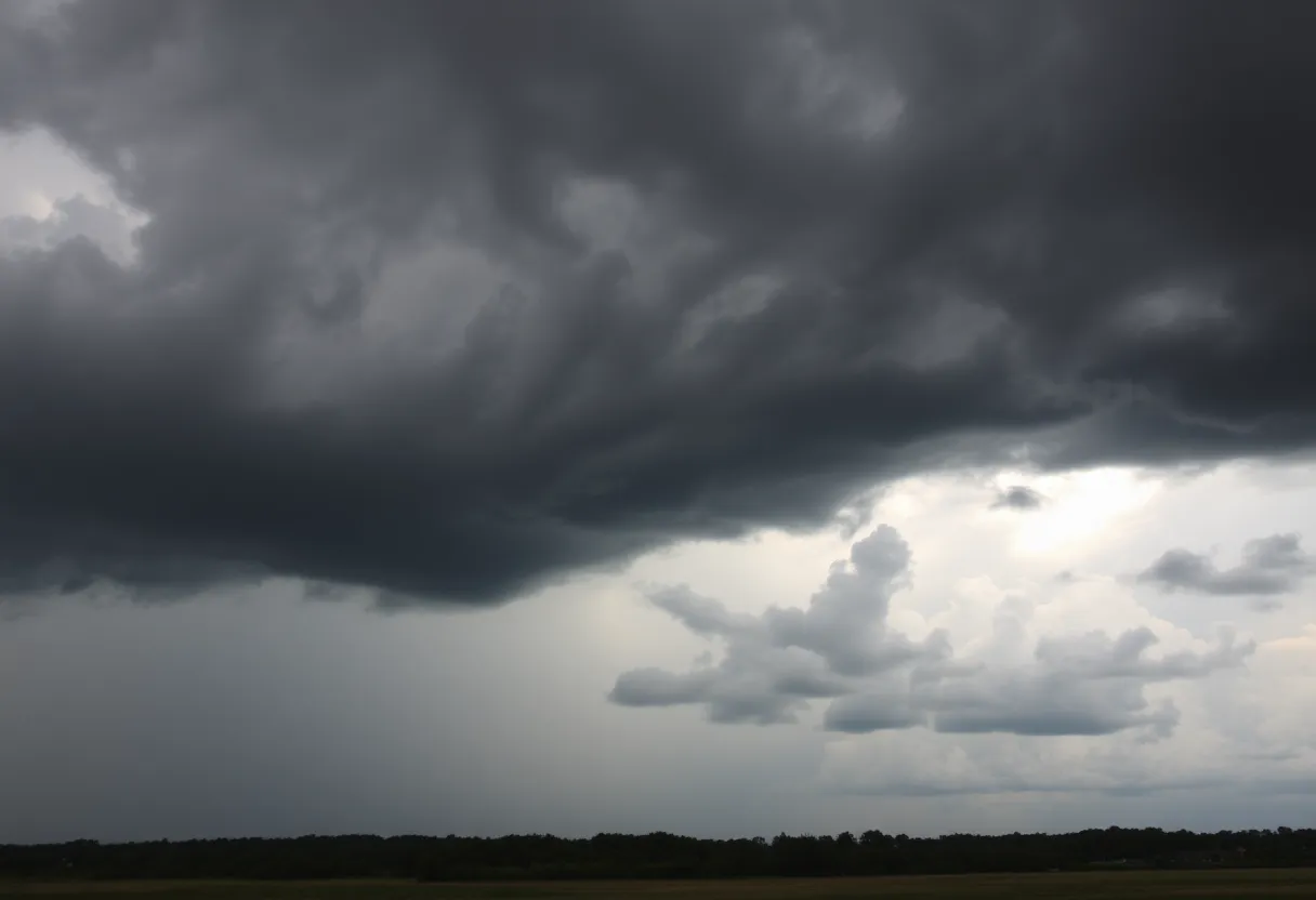
Severe thunderstorms are on the way to South Carolina, impacting counties like Kershaw and Richland. With winds gusting up to 50 mph and potential hail, residents are advised to take precautions. Stay indoors, avoid travel if possible, and stay updated on the latest alerts as conditions may worsen, including flooding and tornado warnings.
Severe Thunderstorms Set to Rumble Through South Carolina!
Hey, folks in Columbia! Are you ready for some wild weather? An updated report from the National Weather Service has dropped in to alert us about some severe thunderstorms making their way across our state. This alert was issued on Friday evening at 8:50 p.m. and it’s expected to last until around 9:30 p.m.
Stormy Conditions Ahead
The National Weather Service (NWS) has flagged strong thunderstorms that are affecting a handful of counties, including Kershaw, Richland, Lee, and Sumter. These storms are no joke! With wind gusts that could reach up to a whopping 50 mph and hail about the size of marbles (that’s around 0.5 inches), it’s time to take the thunder seriously.
What to Expect
If you’re in areas like Columbia, Camden, Bishopville, Lake Wateree Dam, Lugoff, Westville, or the Villages at Sandhill, you should keep your eyes peeled! The radar has detected a strong occurrence of thunderstorms near Elgin, which is roughly 10 miles northeast of our beloved Columbia. At 8:49 p.m., this cluster of storms was headed northeast at around 30 mph, so be prepared!
Things to Watch Out For
With wind gusts that powerful, there’s a risk of tree limbs getting knocked down and any loose items outside being tossed around. Let’s keep our outdoor decorations safe, folks! Plus, be especially warned if you’re traveling along Interstate 20 between mile markers 79 and 116; you might want to take it slow and steady.
Stay Safe Out There!
Now, you might be thinking about heading outdoors. Here’s a heads-up: it’s best to stay inside if you can. The NWS advises that you seek shelter inside a building whenever possible. Remember, lightning is a sneaky threat that strikes the U.S. about 25 million times a year, especially during the summer months, leading to nearly 20 fatalities annually. Caution is key!
Hydroplaning: A Risk on Wet Roads
And let’s not forget about driving. When it rains heavily, hydroplaning can become a serious hazard. This occurs when water builds up in front of your tires, causing your vehicle to slide out of control. If you’ve got to hit the road during these storms, slow down and stay alert!
More Weather Woes?
To add to the drama, there are reports of potential flooding and even tornado warnings in nearby counties. So stay tuned for updates! Are you feeling the stormy vibes yet? While thunderstorms can be a bit scary, staying informed and prepared can make all the difference.
So, to sum it all up, keep your windows closed, stay inside if you can, and keep your radio or phone handy for any updates. We hope all of you remain safe and sound during these *weather adventures*! Remember, when thunder roars, go indoors!
Deeper Dive: News & Info About This Topic
HERE Resources
Severe Weather Alert: Tornado Risks Extend Across Upper Midwest
Severe Thunderstorm Warning Expired in Abbeville and Greenwood
Severe Tornado Outbreak Causes Widespread Destruction Across U.S.
Upstate South Carolina Schools Transition to eLearning Days
Winter Weather Alert Issued for South Carolina
Severe Storm System Causes Widespread Destruction Across States
Devastating Tornadoes Cause Tragedy and Destruction Across Six States
Greenwood County’s Environmental Initiatives for 2025
Severe Thunderstorm Warning for Spartanburg and Greenwood Counties
Tropical Storm Debby Causes Chaos in South Carolina
Additional Resources
- NBC Right Now
- Wikipedia: Thunderstorm
- KOMU News
- Google Search: Columbia weather alerts
- The State
- Google Scholar: severe thunderstorms
- WACH Weather
- Encyclopedia Britannica: weather alerts
- Columbia Missourian
- Google News: thunderstorm warnings