News Summary
A flood advisory is in effect for Columbia and Richmond counties in east central Georgia due to heavy rain. Minor flooding is anticipated in low-lying areas, with up to 1.5 inches of rainfall recorded and an additional inch expected. Travelers should be cautious on local highways, particularly Interstate 20 and Interstate 520, and avoid flooded roadways. Residents are encouraged to stay informed and take necessary precautions as summer storms are anticipated throughout the day.
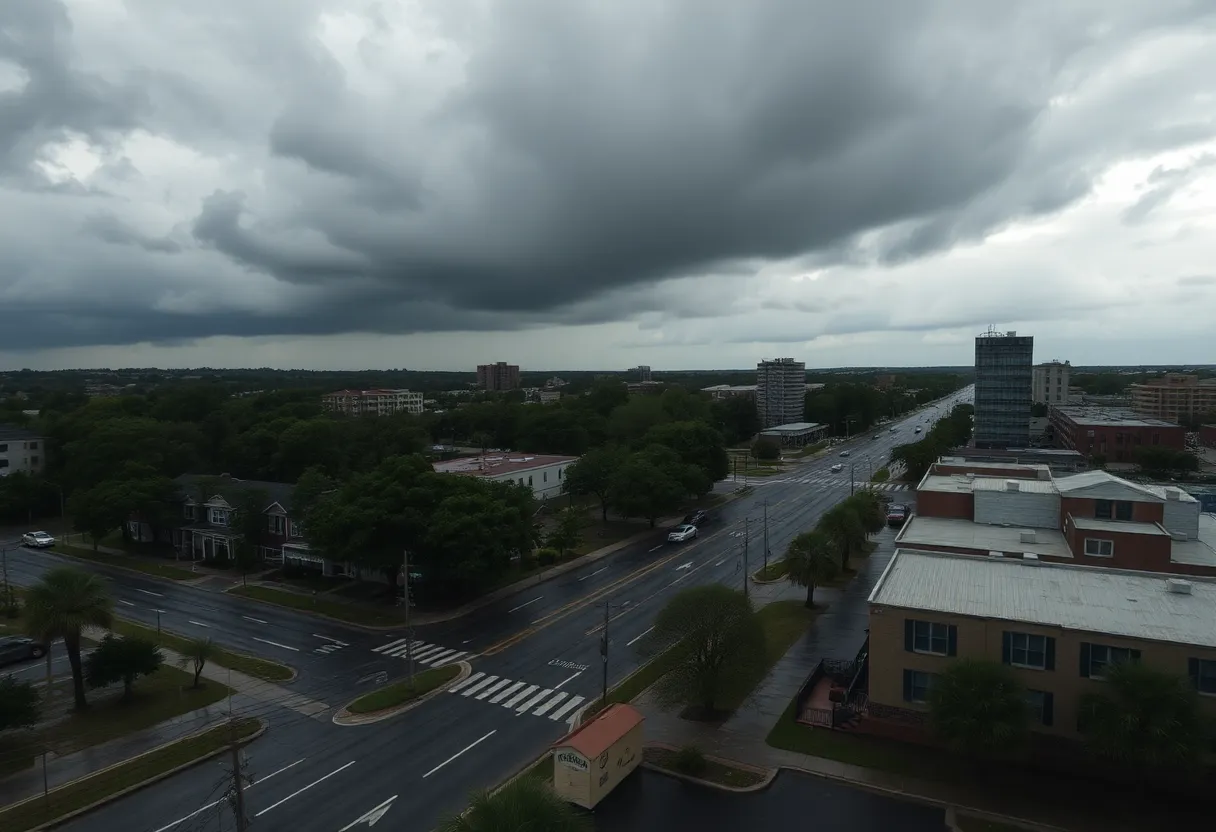
Columbia, Georgia – A flood advisory has been issued for parts of east central Georgia as heavy rain is forecasted to continue through the early hours. The advisory is in effect until 9 AM EDT on May 25, 2025, and is primarily affecting urban and small stream areas of Columbia and Richmond counties.
The advisory warns of minor flooding expected in low-lying and poorly drained areas. As of 6:00 AM EDT, Doppler radar indicated significant rainfall, with totals reaching up to 1.5 inches already recorded. An additional 1 inch of rain is anticipated, which may exacerbate the flooding conditions.
Affected Areas
Key locations that may experience flooding include:
- North Augusta
- Evans
- Martinez
- Village Plaza Shopping Center
- Augusta National Golf Club
- Waverly
- Westwick
- Savannah Rapids Park
- Village at Riverwatch Shopping Center
- Eisenhower Park
Highway Impacts
Travelers should be aware of potential hazards on local highways, particularly:
- Interstate 20 between mile markers 196 and 201
- Interstate 520 near mile marker 1
Drivers are advised to avoid flooded roadways, adhering to the safety reminder: “Turn around, don’t drown.” The Columbia National Weather Service encourages residents to report any flooding they encounter by contacting them at 803-234-4115 or by sharing alerts via their social media platforms.
Weather Forecast
The probability of rain is currently at 100%, with temperatures reaching a high of 77°F. Additional rainfall is expected to total between 1 to 2 inches today, contributing to the risk of flooding.
As the day progresses, summer storms are predicted to develop throughout the afternoon, accompanied by a mix of cloudy skies. Residents should be prepared for sudden shifts in weather.
Looking Ahead
Looking forward to the upcoming Memorial Day weekend, the forecast suggests relief from the rain with temperatures projected in the low 80s and a generally dry weather pattern anticipated. This could provide an opportunity for outdoor activities as conditions improve.
Residents are encouraged to remain vigilant and take necessary precautions during this period of heavy rainfall. By staying informed and prepared, they can ensure their safety during this weather advisory.
Deeper Dive: News & Info About This Topic
HERE Resources
Flash Flood Warning Issued for Abbeville and Greenwood
Severe Weather Hits Columbia: Tornado and Thunderstorm Warnings
Severe Thunderstorm and Tornado Warnings Hit Columbia, SC
Severe Thunderstorm and Tornado Warnings Hit Columbia
Severe Thunderstorm and Tornado Warnings Issued in Columbia, SC
Severe Weather Hits Columbia, South Carolina
State of Emergency Declared in Columbia Amid Severe Flooding状況
Additional Resources
- WFXG: Couple Showers and Storms Possible Sunday Afternoon
- Wikipedia: Weather Forecasting
- WXII: Shower and Storm Thursday Wamer
- Google Search: Weather Forecast
- WLTX: Severe Thunderstorm Threat South Carolina
- Google Scholar: Severe Thunderstorm
- Post and Courier: Tornadoes, Wind, Thunderstorms Midlands
- Encyclopedia Britannica: Thunderstorm
- WXII: Shower, Storm, Severe Hot
- Google News: Severe Weather