News Summary
The National Weather Service has issued warnings for strong thunderstorms affecting Abbeville and Greenwood counties. Residents are advised to seek shelter as gusty winds reaching up to 40 mph and marble-sized hail are expected. The storms, moving at a speed of 30 mph, are also likely to cause minor damage due to hail and strong winds. Several towns, including Hodges and Donalds, may be impacted. Caution is advised as thunderstorms approach the area.
Abbeville, SC – The National Weather Service (NWS) has issued warnings for strong thunderstorms affecting Abbeville and Greenwood counties today. The alert, which was reported at 2:02 p.m., is set to remain in effect until 2:30 p.m. Residents in the area are advised to remain cautious as wind gusts of up to 40 mph and marble-sized hail (approximately 0.5 inches) are expected.
As of 2:01 p.m., Doppler radar detected a strong thunderstorm positioned over Abbeville, moving northeast at a speed of 30 mph. The NWS has cautioned that the gusty winds could result in downed tree limbs and may cause unsecured objects to be blown around. Minor damage to outdoor items due to hail is also a possibility.
Areas that may be impacted by these thunderstorms include Hodges, Donalds, Abbeville, Shoals Junction, Cokesbury, Due West, Ware Shoals, and Lake Greenwood. The NWS has stressed the importance of seeking shelter indoors if outside during this severe weather.
Risks Associated with Thunderstorms
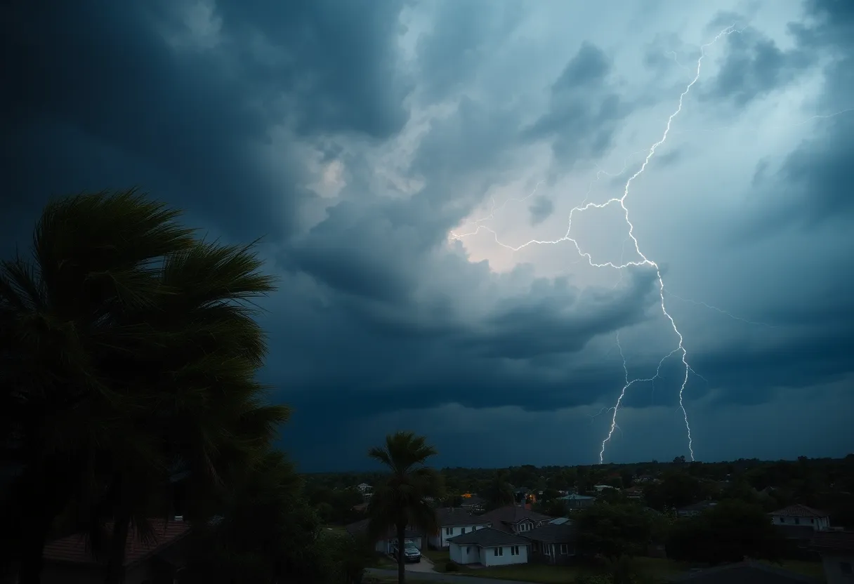
The United States experiences approximately 25 million lightning strikes annually, with the majority occurring during the summer months. These lightning strikes are responsible for about 20 fatalities each year, as reported by the NWS. The likelihood of being struck by lightning increases as a thunderstorm approaches, peaks when the storm is directly overhead, and decreases as the storms move away.
During thunderstorms, the NWS underscores the necessity of indoor safety, highlighting that individuals should seek shelter whenever possible. Additionally, it is crucial to be aware of the risks of hydroplaning, which occurs when a vehicle begins sliding uncontrollably on wet roads caused by water accumulation in front of the tires. Although specific recovery techniques for hydroplaning were not outlined, the NWS provides safety advice for motorists to manage such situations.
Further Weather Alerts
This morning’s alert follows another issued on Friday at 6:22 p.m. for York and Chester counties, which was effective until 6:45 p.m. It anticipated penny-sized hail (around 0.75 inches) and wind gusts reaching 40 mph in these areas. The thunderstorm tracked seven miles northwest of Lancaster and five miles north of Fort Lawn, also moving northeast at a speed of 40 mph. Towns affected included Fort Lawn, Richburg, Catawba, and Edgemoor.
Additional updates from the NWS have indicated that strong thunderstorms will continue to affect Abbeville, Laurens, and Greenwood counties until 8:30 p.m. on Wednesday. Previous reports indicated the storms are moving from Greenwood to Abbeville at a speed of 25 mph. The affected locations encompass Coronaca, Cross Hill, Ware Shoals, Lake Greenwood, Cokesbury, Mountville, Kinards, Waterloo, Hodges, and Donalds.
Forecast and Outlook
A severe weather watch has been issued until midnight due to incoming storms from the west. Anticipated storm timelines suggest that Oconee and Anderson counties will see storm activity beginning at 7 p.m., with Greenville experiencing thunderstorms by 8 p.m., followed by Spartanburg around 9 p.m. Earlier weather activity included brief showers, with expectations for severe storms later in the day. After these storms pass, light showers may linger into the afternoon and early evening.
Temperatures today are projected to hover near 60 degrees but are expected to warm up to around 70 degrees by Sunday and approach 80 degrees early next week, featuring sunny conditions.
Deeper Dive: News & Info About This Topic
HERE Resources
Severe Thunderstorms Hit South Carolina
Severe Thunderstorm Warning Issued for Greenwood and Laurens Counties
Severe Weather Alert: Tornado Risks Extend Across Upper Midwest
Severe Weather Alert: Thunderstorms and Tornado Watch in Greenwood County
Severe Thunderstorm Hits Greenwood County: Be Prepared!
Severe Thunderstorm Warning Issues for Greenwood County
Severe Thunderstorm Warning Issued for Greenwood County
Severe Thunderstorm Warning Expired in Abbeville and Greenwood
Spring Weather Whiplash Hits Spartanburg, SC!
Severe Thunderstorm Warning Hits Anderson and Abbeville Counties
Additional Resources
- Myrtle Beach Online
- Wikipedia: Thunderstorm
- The State
- Google Search: Thunderstorm Safety
- Herald Online
- Google Scholar: Thunderstorm Effects
- WYFF4
- Encyclopedia Britannica: Weather Alerts
- Fox Carolina
- Google News: Severe Weather Updates